Custom software for Earth observation
Copernicus and Sentinel deliver Earth observation data free of charge and in vast quantities, yet it is not immediately usable. Turning raw data into real value requires the right domain applications and development capacity that many organisations lack.
TenMedia closes this gap: with secure software for aerospace and Earth observation, on the ground, where value is created.

Value is created on the ground
TenMedia is not an aerospace corporation. We do not build hardware and we do not equip satellites.
So what sets us apart? Our strength lies on the ground.
This is where data is received, processed, evaluated and secured. With more than fourteen years of experience developing and maintaining custom software, including for security-critical processes in public administration and industry, we have learned to consider data protection, scalability, resilience and auditability from the very start.
Our services for the ground segment and EO downstream
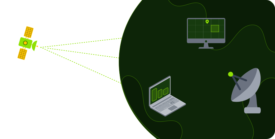
Our offering covers the entire value chain, from data ingest to the finished analysis via a domain application.
Sentinel, Copernicus and commercial satellite data are ingested, validated and catalogued automatically. This ingest opens the processing chain and keeps the data holdings in the ground segment current and complete.
Robust, automated pipelines turn raw data into analysable products. Atmospheric correction, mosaicking and index calculation run reproducibly and traceably, even as data volumes grow.
Central platforms and documented APIs make Earth observation data available to domain applications and third-party systems. Existing geodata and Sentinel streams are integrated seamlessly instead of being operated in isolation.
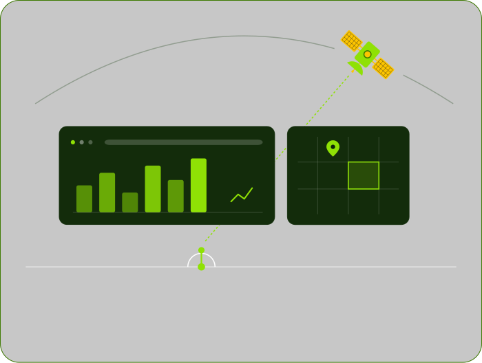
Dashboards and telemetry make every processing step visible. Metrics, maps and status views support domain decisions and reliable operations in real time.
Models for classification, segmentation and change detection identify changes and anomalies in large image holdings. This turns raw imagery into robust, usable insights.
Well-designed data models and storage strategies keep extensive Earth observation holdings queryable with high performance. Archiving, cataloguing and access layers are built for scale.
We operate the solution in production, keep it up to date and develop it further along new requirements. Monitoring, updates and support support stable operation.
Information security to ISO 27001
TenMedia is certified to ISO 27001 and develops applications to BSI baseline protection standards. In the strictly regulated environment of Earth observation and aerospace (SatDSiG, NIS-2) this makes us not another weak point but a strong link in the supply chain.
The ISO standard shapes our daily work:
- Risk-based approach
- Clearly assigned responsibilities
- Documented processes
- A continuous improvement cycle
- Externally monitored through regular TÜV audits
Our expertise in software for aerospace and Earth observation
Whether public administration, research or NewSpace: with a coordinated service portfolio, TenMedia serves the specific requirements of each segment, from the domain application to ground segment software.
Public sector & research
Authorities, municipalities and research institutions increasingly want to use Earth observation for the environment, planning and science, usually without their own development team and amid a noticeable shortage of skilled staff. Reporting obligations, accessibility, data protection and procurement law must be met, and results must remain traceable and audit-ready.
NewSpace & primes
Satellite operators, NewSpace companies and primes face rapidly growing data volumes that must be handled securely and quickly in the ground segment. NewSpace teams work under time and cost pressure, primes look for reliable suppliers. What matters is scalable, interoperable software that fits into existing architectures and runs reliably in continuous operation.
Environmental & specialist authorities
- Monitoring of waters, forests and land from Sentinel data
- Time series and analyses for reporting obligations
- Threshold alerts on changes
Municipalities & state administration
- Land use and soil-sealing analyses for planning
- Heat-island and climate-adaptation maps
- Delivery as accessible geoportals
Research & science
- Reproducible processing chains for projects
- Connection to cloud and compute capacity
- Versioned, publication-ready datasets
Disaster & civil protection
- Fast situation maps for floods, fire, drought
- Before-and-after comparisons for damage assessment
- Integration into existing situational systems
Satellite operators
- Reception and automatic ingest of satellite data
- Telemetry analysis and health monitoring
- Automated processing of raw data into data products
Aerospace primes & system houses
- Supply of individual software modules
- Integration into existing ground-segment architectures
- Modernisation of legacy components
NewSpace companies
- Prototypes and MVPs for a fast market entry
- Scalable data platform as product basis
- API-first connection for your own customers
EO downstream providers
- White-label processing services
- AI analysis modules as building blocks
- Scaling to large archive holdings
Remote sensing software by TenMedia
Feasibility first, then the budget
Every large project begins with small steps: a feasibility study for a specific use case or a pilot with real data.
This makes remote sensing software assessable before budgets are committed. Software for aerospace and Earth observation then grows at the right pace. A good pilot grows step by step into a highly functional platform.
Feasibility study
A specific use case is assessed for feasibility.
Pilot with real data
Testing under real conditions before budgets are committed.
Highly functional platform
The solution grows step by step at the right pace.

FAQs
When choosing the right business software, organisations face a choice between off-the-shelf solutions and custom software. Off-the-shelf solutions are often available quickly, but adapting them in detail to the requirements of the business process is costly and, in some cases, not possible or only inadequately so. Custom software offers a tailored solution that fits the functional and regulatory requirements exactly.
From data ingest through processing to analysis and visualisation, every step of the processing chain can be mapped and automated. In the Earth observation and aerospace environment this concerns data pipelines, EO data platforms, telemetry dashboards and the AI-supported analysis of large satellite image holdings in particular.
It starts with requirements analysis and conception, followed by a feasibility study or a pilot in live operation. On this basis, architecture, development and testing follow before the solution goes into operation. Maintenance, monitoring and further development then support stable operation and adaptation to new requirements.
What we are proud of
- Experience
- 15+ Years
- Customers
- 30+
- Availability of maintained systems
- >99,9%
- Projects
- 40+
- In-house development
- 100%
- Ventures
- 4+
- Partner
-

- Certifications
- ISO 9001: Quality Management
ISO 27001: Information Security